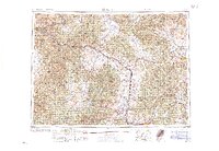
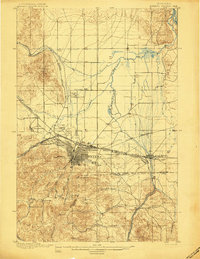
1960 Map of Butte
USGS Topo · Published 1960About this map
The Continental Divide winds through the heart of the Northern Rockies in this 1960 edition, defining a landscape of high summits and industrial centers. Mining and smelting activity anchor the southern reach near Butte and Anaconda, while the state capital of Helena sits at the foot of the Helena National Forest. The map shows a region heavily shaped by transportation, with the Northern Pacific and Milwaukee Road railways threading through narrow river canyons alongside the Clark Fork and Blackfoot River.
Find a feature on this map
119 named features on this map. Tap any name to fly to it.
Don’t see what you’re looking for? This feature index may not catch every label — zoom into the map to look around manually.
Map Details
Editions of this 1960 Butte Map
This is the sole edition of this map. No revisions or reprints were ever made.
Other maps of this area

1886 · Great Falls
USGS Topo · 1:250,000

1886 · Fort Logan
USGS Topo · 1:250,000

1888 · Three Forks
USGS Topo · 1:250,000

1889 · Helena
USGS Topo · 1:250,000

1893 · Helena
USGS Topo · 1:250,000

1893 · Dillon
USGS Topo · 1:250,000
1894 · Three Forks
USGS Topo · 1:250,000
1895 · Three Forks
USGS Topo · 1:250,000
1899 · Boulder
USGS Topo · 1:125,000
1899 · Helena
USGS Topo · 1:62,500