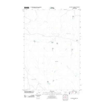
2011 Map of Butterfly Creek
USGS Topo · Published 2011About this map
Lookout Butte rises over a landscape defined by an intricate network of drainages and small-scale water management projects in this part of Rosebud County. The terrain is dominated by the meandering course of South Sunday Creek and its many tributaries, including Bow and Arrow Creek and Coal Creek. A striking feature of this area is the concentration of small dams and reservoirs, many bearing family or numerical designations such as French Number 5 Dam, Heckmiller Number 1 Dam, and Larson Number 2 Dam.
Find a feature on this map
19 named features on this map. Tap any name to fly to it.
Don’t see what you’re looking for? This feature index may not catch every label — zoom into the map to look around manually.
Map Details
Editions of this 2011 Butterfly Creek Map
This is the sole edition of this map. No revisions or reprints were ever made.
Other maps of this area

1953 · Miles City
USGS Topo · 1:250,000

1954 · Forsyth
USGS Topo · 1:250,000

1957 · Miles City
USGS Topo · 1:250,000

1957 · Forsyth
USGS Topo · 1:250,000

1958 · Miles City
USGS Topo · 1:250,000

1958 · Forsyth
USGS Topo · 1:250,000

1968 · Hathaway
USGS Topo · 1:24,000

1968 · Big Hill
USGS Topo · 1:24,000

1968 · Lignite Creek
USGS Topo · 1:24,000

1968 · Butterfly Creek
USGS Topo · 1:24,000