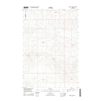
2014 Map of Butterfly Creek
USGS Topo · Published 2014About this map
Lookout Butte rises as a central landmark over the high plains of the Rosebud County and Custer County line. This landscape is defined by its intricate drainage patterns, where high ridges divide the headwaters of numerous creeks that flow across the vast range. In the north, Bow and Arrow Cr and S Sunday Cr carve through the terrain, while Butterfly Cr and Reservation Cr drain the eastern slopes. These watercourses have historically dictated the placement of ranch roads and livestock infrastructure across this part of Montana. The map provides a detailed view of the sectional divisions between Township 8 North and Township 9 North, illustrating the systematic land survey grid that overlays this sparse, open territory.
Find a feature on this map
15 named features on this map. Tap any name to fly to it.
Don’t see what you’re looking for? This feature index may not catch every label — zoom into the map to look around manually.
Map Details
Editions of this 2014 Butterfly Creek Map
This is the sole edition of this map. No revisions or reprints were ever made.
Other maps of this area

1953 · Miles City
USGS Topo · 1:250,000

1954 · Forsyth
USGS Topo · 1:250,000

1957 · Miles City
USGS Topo · 1:250,000

1957 · Forsyth
USGS Topo · 1:250,000

1958 · Miles City
USGS Topo · 1:250,000

1958 · Forsyth
USGS Topo · 1:250,000

1968 · Hathaway
USGS Topo · 1:24,000

1968 · Big Hill
USGS Topo · 1:24,000

1968 · Lignite Creek
USGS Topo · 1:24,000

1968 · Butterfly Creek
USGS Topo · 1:24,000