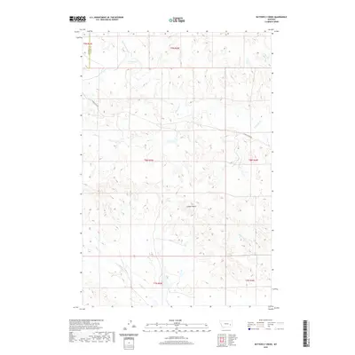
2020 Map of Butterfly Creek
USGS Topo · Published 2020About this map
Lookout Butte serves as a prominent landmark in this section of the Montana rangeland, where the drainages of S Sunday Cr and its various tributaries define the landscape. The map shows a transition of administrative boundaries, marking the line between Rosebud Co and Custer Co in the northern portion of the quadrangle. The road network is sparse, centered primarily on S Sunday Creek Rd, which tracks the hydrology of the area. This survey reveals an intricate drainage system including Sage Cr, Butterfly Cr, and the descriptively named Bow and Arrow Cr. The topography is characterized by the erosional patterns typical of this region, with Reservation Cr and Steiger Cr cutting through the southern townships, illustrating the vital water routes in an otherwise arid environment.
Find a feature on this map
17 named features on this map. Tap any name to fly to it.
Don’t see what you’re looking for? This feature index may not catch every label — zoom into the map to look around manually.
Map Details
Editions of this 2020 Butterfly Creek Map
This is the sole edition of this map. No revisions or reprints were ever made.
Other maps of this area

1953 · Miles City
USGS Topo · 1:250,000

1954 · Forsyth
USGS Topo · 1:250,000

1957 · Miles City
USGS Topo · 1:250,000

1957 · Forsyth
USGS Topo · 1:250,000

1958 · Miles City
USGS Topo · 1:250,000

1958 · Forsyth
USGS Topo · 1:250,000

1968 · Hathaway
USGS Topo · 1:24,000

1968 · Big Hill
USGS Topo · 1:24,000

1968 · Lignite Creek
USGS Topo · 1:24,000

1968 · Butterfly Creek
USGS Topo · 1:24,000