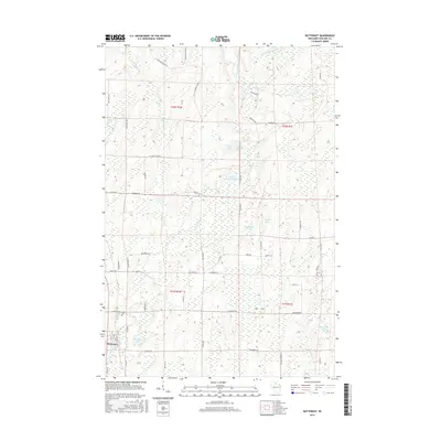
2015 Map of Butternut
USGS Topo · Published 2015About this map
Butternut sits at the southwestern corner of this survey, serving as the primary settlement in a landscape defined by Northwoods glacial hydrology and forest management. The village grid is clearly established near Union Cem, while the surrounding township is partitioned by a network of fire lanes and forest roads like Masterson Fire Ln and Co Forest Road 11. The terrain is saturated with small lakes and winding waterways, most notably the East Fork Chippewa River which enters from the north.
Find a feature on this map
59 named features on this map. Tap any name to fly to it.
Don’t see what you’re looking for? This feature index may not catch every label — zoom into the map to look around manually.
Map Details
Editions of this 2015 Butternut Map
This is the sole edition of this map. No revisions or reprints were ever made.
Other maps of this area

1940 · Butternut
USGS Topo · 1:48,000

1941 · Park Falls
USGS Topo · 1:48,000

1941 · Kennedy
USGS Topo · 1:48,000

1942 · Glidden
USGS Topo · 1:48,000

1943 · Park Falls
USGS Topo · 1:48,000

1945 · Kennedy
USGS Topo · 1:48,000

1945 · Glidden
USGS Topo · 1:48,000

1947 · Park Falls
USGS Topo · 1:48,000

1947 · Butternut
USGS Topo · 1:48,000

1950 · Butternut
USGS Topo · 1:48,000