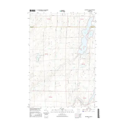
2015 Map of Butternut Lake
USGS Topo · Published 2015About this map
Butternut Lake and its neighboring waters dominate this northern Wisconsin landscape along the border of Ashland and Price counties. The area is defined by a dense network of glacial lakes and wetlands, where Schnur Lake and Bass Lake are linked by small drainage ways like Beaver Cr and Butternut Creek. To the south, the Flambeau River winds through the terrain, broadening into the Pixley Flowage and receiving waters from Gardner Cr and Flood Cr.
Find a feature on this map
71 named features on this map. Tap any name to fly to it.
Don’t see what you’re looking for? This feature index may not catch every label — zoom into the map to look around manually.
Map Details
Editions of this 2015 Butternut Lake Map
This is the sole edition of this map. No revisions or reprints were ever made.
Other maps of this area

1940 · Butternut
USGS Topo · 1:48,000

1941 · Park Falls
USGS Topo · 1:48,000

1941 · Kennedy
USGS Topo · 1:48,000

1942 · Glidden
USGS Topo · 1:48,000

1943 · Park Falls
USGS Topo · 1:48,000

1945 · Kennedy
USGS Topo · 1:48,000

1945 · Glidden
USGS Topo · 1:48,000

1947 · Park Falls
USGS Topo · 1:48,000

1947 · Butternut
USGS Topo · 1:48,000

1950 · Butternut
USGS Topo · 1:48,000