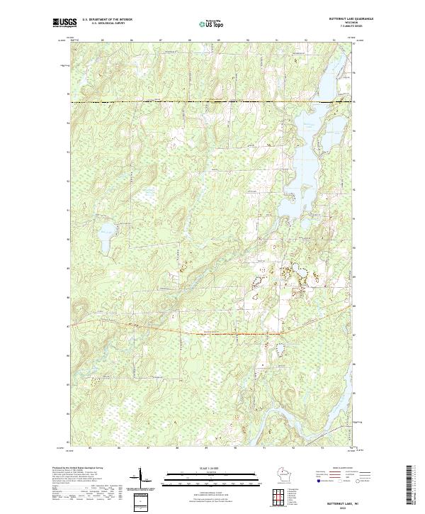
2022 Map of Butternut Lake
USGS Topo · Published 2022About this map
Butternut Lake and its smaller neighbor Schnur Lake dominate this Northwoods landscape, reflecting a region defined by complex glacial hydrology and a legacy of timber and recreation. Situated along the boundary of Ashland Co and Price Co, the map reveals a dense network of water bodies, including Mud Lake, Bass Lake, and Gardner Lake. The presence of the Mill Pond and the winding course of Butternut Creek suggests a history of local water management, while the southern reach of the map is defined by the Flambeau River and its tributaries like Pinkerton Creek and Oxbow Creek. Local transit and recreation are represented by the Tuscobia State Trail, which cuts across the terrain, following an older corridor through the woods. The road network, including Co Hwy B and Co Hwy E, connects scattered lakeside developments and rural homesteads defined by labels like Lakeshore Lane and Safe Harbor Road.
Find a feature on this map
69 named features on this map. Tap any name to fly to it.
Don’t see what you’re looking for? This feature index may not catch every label — zoom into the map to look around manually.
Map Details
Editions of this 2022 Butternut Lake Map
This is the sole edition of this map. No revisions or reprints were ever made.
Other maps of this area

1940 · Butternut
USGS Topo · 1:48,000

1941 · Park Falls
USGS Topo · 1:48,000

1941 · Kennedy
USGS Topo · 1:48,000

1942 · Glidden
USGS Topo · 1:48,000

1943 · Park Falls
USGS Topo · 1:48,000

1945 · Kennedy
USGS Topo · 1:48,000

1945 · Glidden
USGS Topo · 1:48,000

1947 · Park Falls
USGS Topo · 1:48,000

1947 · Butternut
USGS Topo · 1:48,000

1950 · Butternut
USGS Topo · 1:48,000