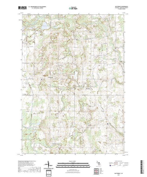
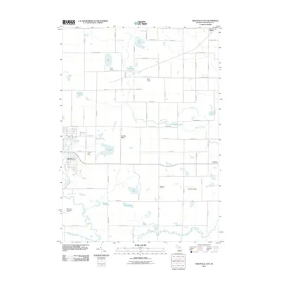
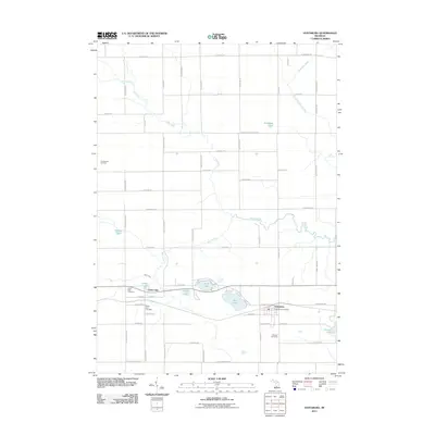
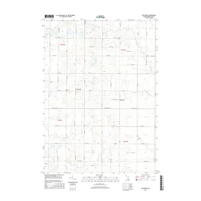
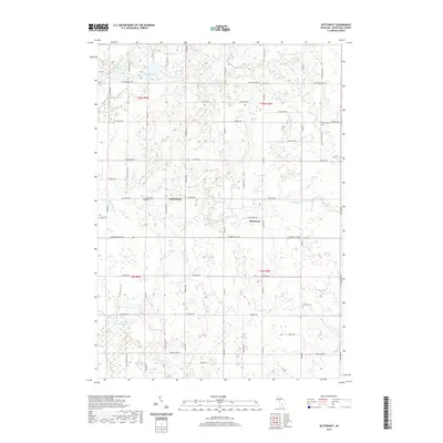
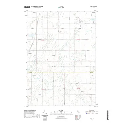
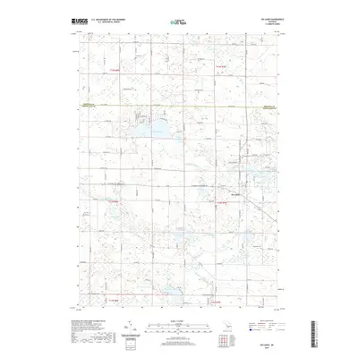
2023 Map of Butternut
USGS Topo · Published 2023About this map
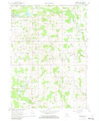
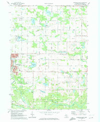
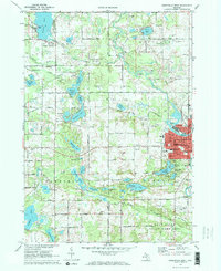
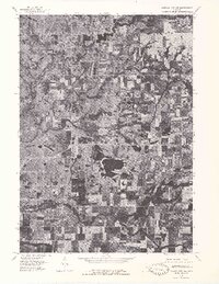
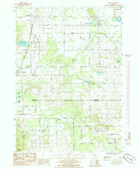
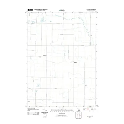
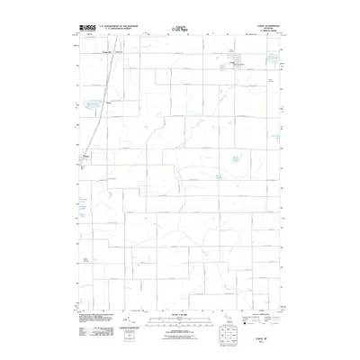
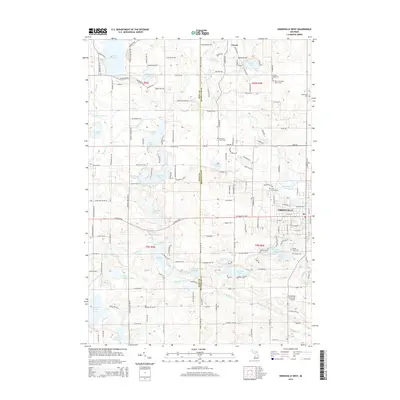
Vickeryville and Butternut anchor this rural landscape in Montcalm County, where a network of section-line roads like E Carson City Rd and Holland Lake Rd divide the agricultural terrain. The area is defined by its complex hydrology, with numerous small water bodies such as Muskrat Lake, Mud Lake, and Cedar Lake dotting the northern reaches. The drainage patterns of West Branch Fish Creek and Butternut Creek illustrate the low-lying nature of this central Michigan territory. For those researching local families, the presence of several established burial grounds including Crystal Cem, Burke Cem, Bloomer Cem, and Vickeryville Cem provide critical geographic context for early settlements. The map shows a landscape largely shaped by its glacial history, with various drains like Potter Drain and creeks like Bacon Creek and Prairie Creek threading through the countryside.
Find a feature on this map
58 named features on this map. Tap any name to fly to it.
Don’t see what you’re looking for? This feature index may not catch every label — zoom into the map to look around manually.
Map Details
Editions of this 2023 Butternut Map
This is the sole edition of this map. No revisions or reprints were ever made.
Historical Maps of Crystal Township Through Time
44 maps found
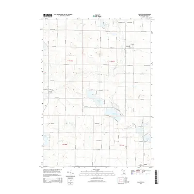
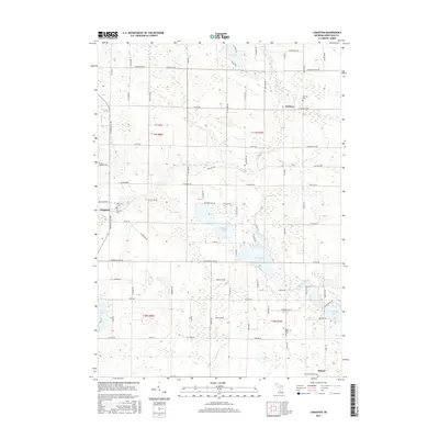
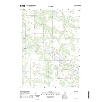
1964 Langston
Montcalm County, MI
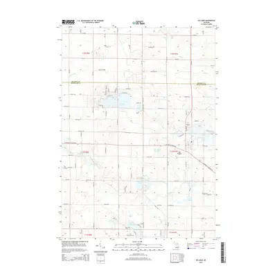
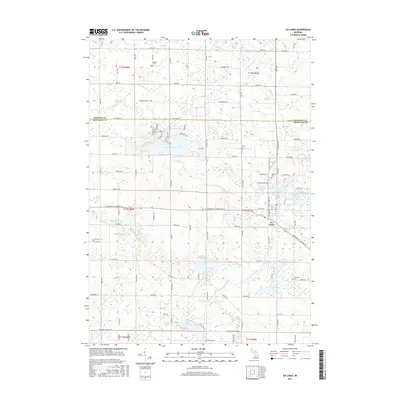
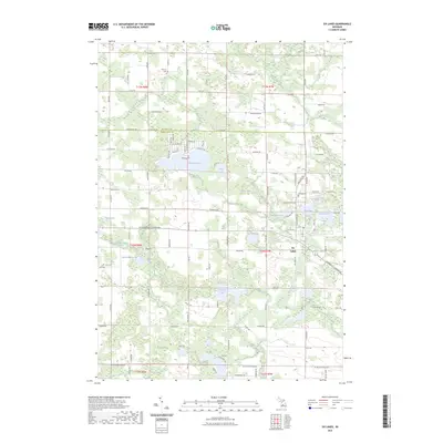
1964 Six Lakes
Montcalm County, MI
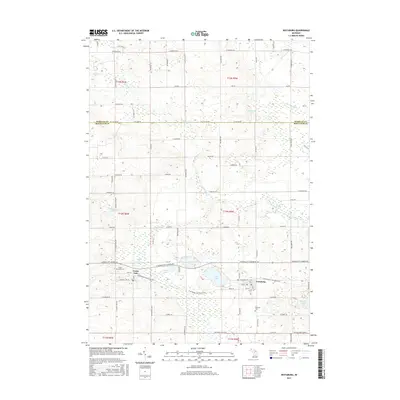
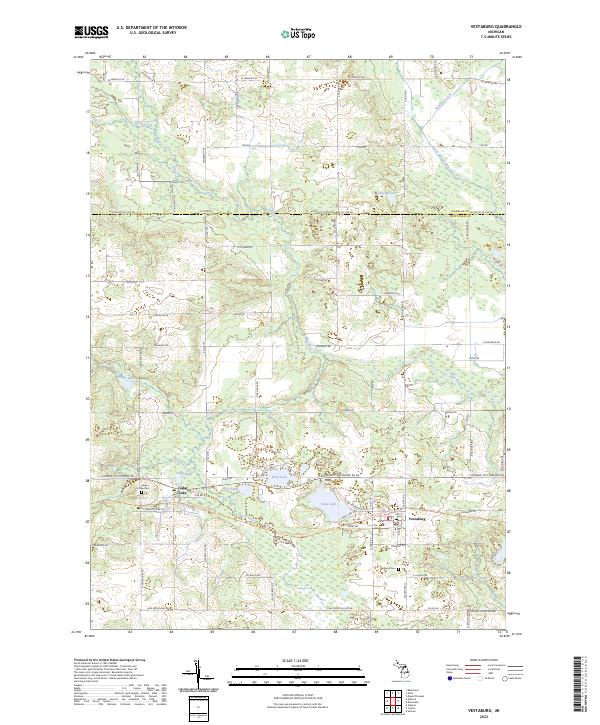
1965 Vestaburg
Montcalm County, MI
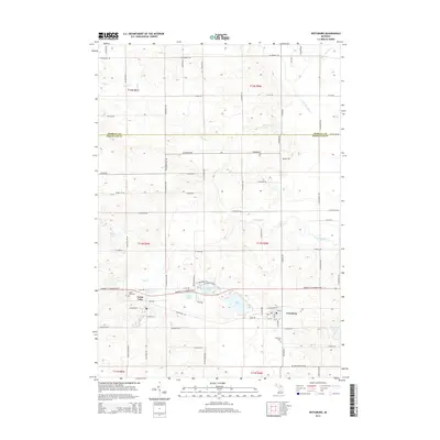
1967 Butternut
Montcalm County, MI
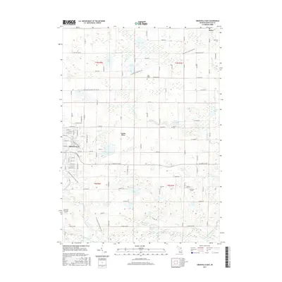
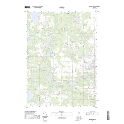
1972 Greenville East
Montcalm County, MI
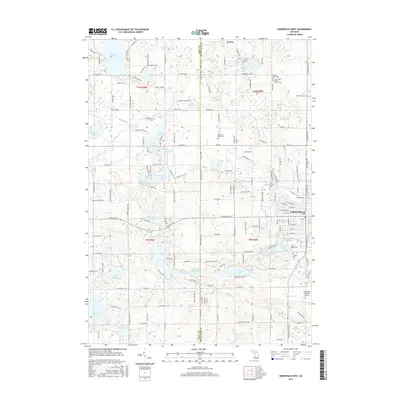
1972 Greenville West
Montcalm County, MI
1976 Howard City NE
Montcalm County, MI
1976 Howard City NW
Montcalm County, MI
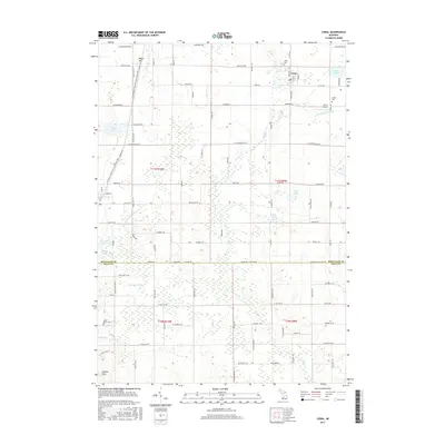
1985 Coral
Montcalm County, MI
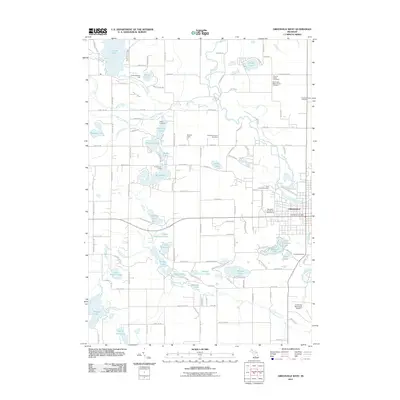
2011 Butternut
Montcalm County, MI
2011 Coral
Montcalm County, MI
2011 Greenville East
Montcalm County, MI
2011 Greenville West
Montcalm County, MI
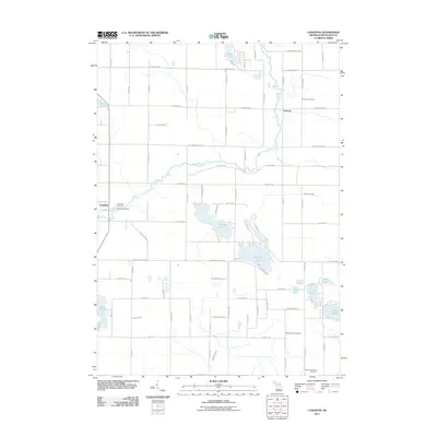
2011 Langston
Montcalm County, MI
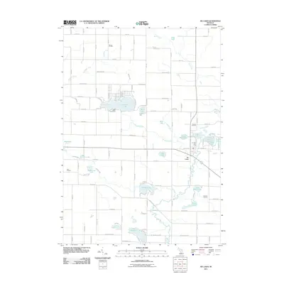
2011 Six Lakes
Montcalm County, MI
2011 Vestaburg
Montcalm County, MI
2014 Butternut
Montcalm County, MI
2014 Coral
Montcalm County, MI
2014 Greenville East
Montcalm County, MI
2014 Greenville West
Montcalm County, MI
2014 Langston
Montcalm County, MI
2014 Six Lakes
Montcalm County, MI
2014 Vestaburg
Montcalm County, MI
2017 Butternut
Montcalm County, MI
2017 Coral
Montcalm County, MI
2017 Greenville East
Montcalm County, MI
2017 Greenville West
Montcalm County, MI
2017 Langston
Montcalm County, MI
2017 Six Lakes
Montcalm County, MI
2017 Vestaburg
Montcalm County, MI
2019 Butternut
Montcalm County, MI
2019 Coral
Montcalm County, MI
2019 Greenville East
Montcalm County, MI
2019 Greenville West
Montcalm County, MI
2019 Langston
Montcalm County, MI
2019 Six Lakes
Montcalm County, MI
2019 Vestaburg
Montcalm County, MI
2023 Butternut
Montcalm County, MI
2023 Coral
Montcalm County, MI
2023 Greenville East
Montcalm County, MI
2023 Greenville West
Montcalm County, MI
2023 Langston
Montcalm County, MI
2023 Six Lakes
Montcalm County, MI
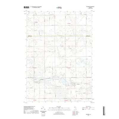
2023 Vestaburg
Montcalm County, MI
Featured Locations
- Crystal Township, MI
- Evergreen Township, MI
- Bloomer Township, MI
- Bushnell Township, MI
- Vickeryville, Bushnell Township