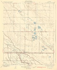
1932 Map of Buttonwillow
USGS Topo · Published 1932About this map
The town of Buttonwillow serves as the central hub in this survey of Kern County's agricultural and industrial landscape during the early 1930s. The region is defined by an extensive water management network, including the Garden Canal, East Side Canal, and the Main Drainage Ditch, which support large-scale landholdings such as the Miller and Lux Headquarters Ranch and Palomas Ranch. This infrastructure transformed the arid valley floor into productive territory for ranching and settlement.
Find a feature on this map
25 named features on this map. Tap any name to fly to it.
Don’t see what you’re looking for? This feature index may not catch every label — zoom into the map to look around manually.
Map Details
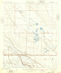
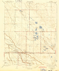
Editions of this 1932 Buttonwillow Map
3 editions found
Other maps of this area

1910 · Buena Vista Lake
USGS Topo · 1:125,000

1912 · McKittrick
USGS Topo · 1:125,000

1912 · Buena Vista Lake
USGS Topo · 1:125,000

1914 · Lost Hills
USGS Topo · 1:125,000

1927 · Semitropic
USGS Topo · 1:31,680

1929 · Coles Levee
USGS Topo · 1:31,680

1930 · Leonards
USGS Topo · 1:31,680

1930 · Wasco
USGS Topo · 1:31,680

1931 · Rio Bravo
USGS Topo · 1:31,680

1931 · Lokern
USGS Topo · 1:31,680