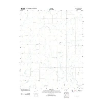
2012 Map of Buxton
USGS Topo · Published 2012About this map
Buxton and the surrounding Elk County prairie define this landscape, where a network of section-line roads and creek drainages organize the rural layout. The terrain is marked by numerous watercourses, including the westward-flowing W Rainbow Cr and the southern reaches of S Duck Cr. For genealogists, the map preserves the exact locations of several burial grounds such as Butner Cem, Upola Cem, and Mount Pleasant Cem, which anchor the small rural communities of Upola and Buxton. While the region is primarily agricultural, the presence of the Bonner Field Airport south of Buxton indicates modern local aviation. The survey also traces named rural routes like Killdeer Rd and Buxton Rd, providing a clear record of the area's transportation infrastructure and land use in the early 21st century.
Find a feature on this map
29 named features on this map. Tap any name to fly to it.
Don’t see what you’re looking for? This feature index may not catch every label — zoom into the map to look around manually.
Map Details
Editions of this 2012 Buxton Map
This is the sole edition of this map. No revisions or reprints were ever made.
Other maps of this area

1885 · Eureka
USGS Topo · 1:125,000

1885 · Sedan
USGS Topo · 1:125,000

1886 · Fredonia
USGS Topo · 1:125,000

1886 · Independence
USGS Topo · 1:125,000

1888 · Eureka
USGS Topo · 1:125,000

1889 · Sedan
USGS Topo · 1:125,000

1894 · Fredonia
USGS Topo · 1:125,000

1894 · Independence
USGS Topo · 1:125,000

1894 · Eureka
USGS Topo · 1:125,000

1905 · Independence
USGS Topo · 1:125,000