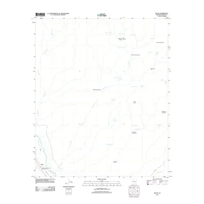
2011 Map of Bylas
USGS Topo · Published 2011About this map
Bylas stands at the southwestern edge of this high-desert landscape, situated along the Gila River and Indian Rte 105. This region is defined by a dense network of canyons and peaks that stretch toward the northeast, including McKinney Mountain and China Peak. The land is dotted with vital water sources such as Rattlesnake Spring, Cane Springs, and numerous stock tanks like Midway Tank and Pasture Tank, which support the remote Diamond Bar Ranch. The drainage patterns are clearly marked by the winding courses of Salt Creek and Long Creek, cutting through landmarks like Yellowjacket Canyon and Grapevine Canyon. From the Arizona Highway Department Maintenance Yard in the south to the Sampson Windmill further north, the map documents a sparse but essential human infrastructure built around the challenges of the arid Arizona terrain.
Find a feature on this map
36 named features on this map. Tap any name to fly to it.
Don’t see what you’re looking for? This feature index may not catch every label — zoom into the map to look around manually.
Map Details
Editions of this 2011 Bylas Map
This is the sole edition of this map. No revisions or reprints were ever made.
Other maps of this area

1954 · Clifton
USGS Topo · 1:250,000

1954 · Mesa
USGS Topo · 1:250,000

1957 · Mesa
USGS Topo · 1:250,000

1957 · Clifton
USGS Topo · 1:250,000

1958 · Clifton
USGS Topo · 1:250,000

1958 · Mesa
USGS Topo · 1:250,000

1960 · Mesa
USGS Topo · 1:250,000

1960 · Bylas
USGS Topo · 1:62,500

1960 · Fort Thomas
USGS Topo · 1:62,500

1962 · Clifton
USGS Topo · 1:250,000