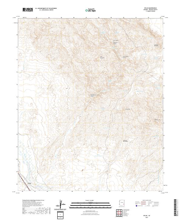
2021 Map of Bylas
USGS Topo · Published 2021About this map
The Gila River valley near Bylas anchors this landscape, where the riparian corridor meets the southern foothills of the Gila Mountains. The terrain is defined by a series of prominent peaks and high ridges, including McKinney Mtn, China Peak, and Diamond Bar Peak. These heights are dissected by a complex network of drainage systems like Carland Wash and several named canyons such as Yellowjacket Canyon and Grapevine Canyon. Settlement is concentrated along the river valley, while the uplands are marked by scattered water sources essential for desert life, including Rattlesnake Spring and Cane Springs. The map reveals a reliance on tanks for water management in this arid environment, with features like Midway Tank and Upper Sampson Tank distributed across the rugged topography.
Find a feature on this map
35 named features on this map. Tap any name to fly to it.
Don’t see what you’re looking for? This feature index may not catch every label — zoom into the map to look around manually.
Map Details
Editions of this 2021 Bylas Map
This is the sole edition of this map. No revisions or reprints were ever made.
Other maps of this area

1954 · Clifton
USGS Topo · 1:250,000

1954 · Mesa
USGS Topo · 1:250,000

1957 · Mesa
USGS Topo · 1:250,000

1957 · Clifton
USGS Topo · 1:250,000

1958 · Clifton
USGS Topo · 1:250,000

1958 · Mesa
USGS Topo · 1:250,000

1960 · Mesa
USGS Topo · 1:250,000

1960 · Bylas
USGS Topo · 1:62,500

1960 · Fort Thomas
USGS Topo · 1:62,500

1962 · Clifton
USGS Topo · 1:250,000