
1916 Map of Byron
USGS Topo · Published 1916About this map
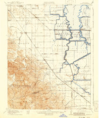
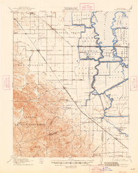
Byron Tract and the complex waterways of the Sacramento-San Joaquin Delta dominate this 1916 survey, where the reclamation of low-lying islands was in full swing. This era is characterized by an extensive network of levees and pumping plants necessary to manage the Middle River, Old River, and numerous sloughs like Rock Slough. To the west, the landscape rises sharply into the hills of Los Meganos and the historic Mexican land grant of Canada De Los Vaqueros, anchored by the distinctive Brushy Pk.
Find a feature on this map
65 named features on this map. Tap any name to fly to it.
Don’t see what you’re looking for? This feature index may not catch every label — zoom into the map to look around manually.
Map Details
Editions of this 1916 Byron Map
3 editions found
Other maps of this area

1894 · Lodi
USGS Topo · 1:125,000

1896 · Mt. Diablo
USGS Topo · 1:62,500

1898 · Mt. Diablo
USGS Topo · 1:62,500

1906 · Pleasanton
USGS Topo · 1:62,500

1907 · Tesla
USGS Topo · 1:62,500

1907 · Antioch
USGS Topo · 1:62,500

1908 · Antioch
USGS Topo · 1:62,500

1910 · Bouldin
USGS Topo · 1:31,680

1910 · Jersey
USGS Topo · 1:31,680

1910 · Headreach
USGS Topo · 1:31,680