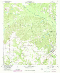
1974 Map of Byron
USGS Topo · Published 1985About this map
Byron serves as the primary hub on this mid-1970s survey, positioned where the Central of Georgia railroad intersects with a network of local roads including Bateman Road and Walker Road. The landscape is defined by the convergence of Peach, Bibb, and Crawford counties, where the terrain is carved by Echeconnee Creek and its many tributaries like Gum Branch and Whitewater Creek.
Find a feature on this map
41 named features on this map. Tap any name to fly to it.
Don’t see what you’re looking for? This feature index may not catch every label — zoom into the map to look around manually.
Map Details
Editions of this 1974 Byron Map
2 editions found
Other maps of this area

1956 · Fort Valley
USGS Topo · 1:62,500

1956 · Bolingbroke
USGS Topo · 1:62,500

1956 · Warner Robins
USGS Topo · 1:62,500

1956 · Macon West
USGS Topo · 1:24,000

1956 · Macon
USGS Topo · 1:62,500

1957 · Macon
USGS Topo · 1:250,000

1958 · Macon
USGS Topo · 1:250,000

1964 · Macon
USGS Topo · 1:250,000
1973 · Fort Valley West
USGS Topo · 1:24,000
1973 · Warner Robins SW
USGS Topo · 1:24,000