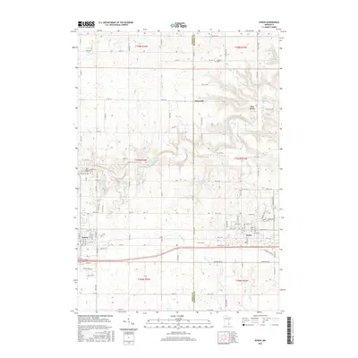
2016 Map of Byron
USGS Topo · Published 2016About this map
The Dodge and Olmsted County line bisects this region of southeastern Minnesota, where the agricultural landscape is shaped by the winding S Br Middle Fork Zumbro River and its tributaries. Small settlements and historical crossroads are frequent, including Danesville, Post Town, and the outskirts of Othello. To the west and east, the larger centers of Kasson and Byron flank the study area, connected by the modernized corridor of Highway 14.
Find a feature on this map
103 named features on this map. Tap any name to fly to it.
Don’t see what you’re looking for? This feature index may not catch every label — zoom into the map to look around manually.
Map Details
Editions of this 2016 Byron Map
This is the sole edition of this map. No revisions or reprints were ever made.
Other maps of this area

1953 · Saint Paul
USGS Topo · 1:250,000

1954 · Mason City
USGS Topo · 1:250,000

1955 · High Forest
USGS Topo · 1:62,500

1957 · Mason City
USGS Topo · 1:250,000

1958 · Mason City
USGS Topo · 1:250,000

1959 · Saint Paul
USGS Topo · 1:250,000

1965 · Dodge Center
USGS Topo · 1:24,000

1965 · Concord
USGS Topo · 1:24,000

1965 · Oronoco
USGS Topo · 1:24,000

1965 · Byron
USGS Topo · 1:24,000