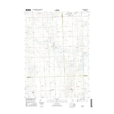
2017 Map of Byron
USGS Topo · Published 2017About this map
The Shiawassee River and its South Branch Shiawassee River anchor this landscape at the junction of Shiawassee, Genesee, and Livingston counties. Centered on the village of Byron, the area is defined by a sophisticated network of agricultural drainage systems, including the Burns and Vernon Drain and the Cohoctah and Barnum Drain, which have long supported the local farming economy. To the north, the settlement of Gaines sits near the county line, while the southern reaches feature Cohoctah and Cohoctah Center. The geography is dotted with several water bodies such as Kanause Lake and McKane Lake, alongside numerous family-named burial sites like Atherton Cem and Pine Tree Cem, providing critical landmarks for those tracing lineage in these rural townships.
Find a feature on this map
66 named features on this map. Tap any name to fly to it.
Don’t see what you’re looking for? This feature index may not catch every label — zoom into the map to look around manually.
Map Details
Editions of this 2017 Byron Map
This is the sole edition of this map. No revisions or reprints were ever made.
Other maps of this area

1907 · Howell
USGS Topo · 1:62,500

1908 · Fowlerville
USGS Topo · 1:62,500

1909 · Howell
USGS Topo · 1:62,500

1910 · Fowlerville
USGS Topo · 1:62,500

1922 · Durand
USGS Topo · 1:62,500

1926 · Corunna
USGS Topo · 1:62,500

1929 · Corunna
USGS Topo · 1:62,500

1943 · Durand
USGS Topo · 1:62,500

1944 · Corunna
USGS Topo · 1:62,500

1954 · Detroit
USGS Topo · 1:250,000