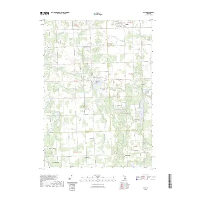
2023 Map of Byron
USGS Topo · Published 2023About this map
The Shiawassee River winds through this central Michigan landscape, connecting the village of Byron to the surrounding agricultural townships. The town center is defined by its proximity to the Byron Mill Pond and the Shiawassee River Tri, while the broader terrain is marked by an intricate network of drainage systems such as Bear Swamp Drain and Drake Drain. This survey documents a rural environment where county lines for Shiawassee, Livingston, and Genesee counties meet.
Find a feature on this map
65 named features on this map. Tap any name to fly to it.
Don’t see what you’re looking for? This feature index may not catch every label — zoom into the map to look around manually.
Map Details
Editions of this 2023 Byron Map
This is the sole edition of this map. No revisions or reprints were ever made.
Other maps of this area

1907 · Howell
USGS Topo · 1:62,500

1908 · Fowlerville
USGS Topo · 1:62,500

1909 · Howell
USGS Topo · 1:62,500

1910 · Fowlerville
USGS Topo · 1:62,500

1922 · Durand
USGS Topo · 1:62,500

1926 · Corunna
USGS Topo · 1:62,500

1929 · Corunna
USGS Topo · 1:62,500

1943 · Durand
USGS Topo · 1:62,500

1944 · Corunna
USGS Topo · 1:62,500

1954 · Detroit
USGS Topo · 1:250,000