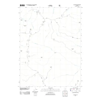
2011 Map of C Canyon
USGS Topo · Published 2011About this map
Skyline Dr winds through high mountain ridges, serving as the primary corridor for this 2011 survey of the Manti-La Sal National Forest region. The landscape is defined by its drainage systems, including the headwaters of Fish Creek, Gooseberry Creek, and Silver Creek, which carve deep canyons into the high plateaus. Evidence of early resource utilization and passage is found in names like Sawmill Canyon and Wagon Road Ridge, indicating the historical significance of these routes for timber and transport. The Browns Peak Trl provides specialized access to the western peaks, while the Johnson Ridge Overlook offers a perspective over C Canyon and the surrounding Johnson Ridge. For researchers, the map records numerous water sources essential for high-altitude survival and livestock, such as Rock Spring, Garret Spring, and Commissary Spring.
Find a feature on this map
34 named features on this map. Tap any name to fly to it.
Don’t see what you’re looking for? This feature index may not catch every label — zoom into the map to look around manually.
Map Details
Editions of this 2011 C Canyon Map
This is the sole edition of this map. No revisions or reprints were ever made.
Other maps of this area

1885 · Manti
USGS Topo · 1:250,000

1895 · Manti
USGS Topo · 1:250,000

1923 · Scofield
USGS Topo · 1:62,500

1925 · Scofield
USGS Topo · 1:62,500

1939 · Soldier Summit
USGS Topo · 1:62,500

1942 · Soldier Summit
USGS Topo · 1:62,500

1956 · Price
USGS Topo · 1:250,000

1960 · Price
USGS Topo · 1:250,000

1962 · Price
USGS Topo · 1:250,000

1965 · Fairview Lakes
USGS Topo · 1:24,000