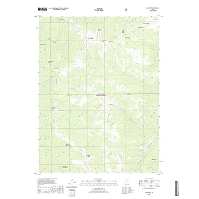
2020 Map of C Canyon
USGS Topo · Published 2020About this map
Manti-La Sal National Forest dominates this high-altitude landscape along the border of Utah and Sanpete counties. The terrain is defined by a dense network of ridges and canyons, including Beehive Ridge and Mill Fork Ridge, which channel numerous water sources like Fish Cr and Silver Creek. This modern survey illustrates the complex topography that historically supported seasonal grazing and timber harvesting, indicated by features such as Sawmill Canyon and Commissary Spring. High-elevation access is provided by Skyline Dr, a primary corridor for forest management and recreation. The map also traces established paths like the Fish Creek Trail and the Trail To Commissary Springs, which follow natural drainages through the C Canyon Fish Cr drainage. For those researching the geography of the Wasatch Plateau, the map provides detailed placement of family-named landmarks like Johnson Ridge and Bennion Ridge.
Find a feature on this map
57 named features on this map. Tap any name to fly to it.
Don’t see what you’re looking for? This feature index may not catch every label — zoom into the map to look around manually.
Map Details
Editions of this 2020 C Canyon Map
This is the sole edition of this map. No revisions or reprints were ever made.
Other maps of this area
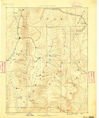
1885 · Manti
USGS Topo · 1:250,000
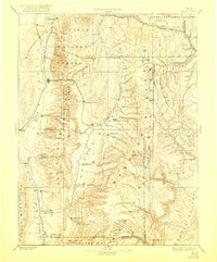
1895 · Manti
USGS Topo · 1:250,000
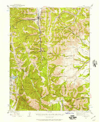
1923 · Scofield
USGS Topo · 1:62,500
1925 · Scofield
USGS Topo · 1:62,500
1939 · Soldier Summit
USGS Topo · 1:62,500
1942 · Soldier Summit
USGS Topo · 1:62,500
1956 · Price
USGS Topo · 1:250,000
1960 · Price
USGS Topo · 1:250,000
1962 · Price
USGS Topo · 1:250,000
1965 · Fairview Lakes
USGS Topo · 1:24,000