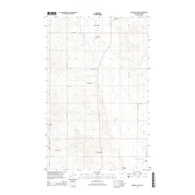
2014 Map of Cabarett Coulee
USGS Topo · Published 2014About this map
The Poplar River winds through this section of Daniels County, cutting a deep valley through the high plains of northeastern Montana. The landscape is defined by its drainage network, with prominent seasonal waterways including Manternach Coulee and Negro Coulee feeding into the river system. A rural infrastructure of named section roads, such as Old Scobey Rd and Silver Star Rd, provides access to the surrounding ranching and agricultural tracts.
Find a feature on this map
18 named features on this map. Tap any name to fly to it.
Don’t see what you’re looking for? This feature index may not catch every label — zoom into the map to look around manually.
Map Details
Editions of this 2014 Cabarett Coulee Map
This is the sole edition of this map. No revisions or reprints were ever made.
Other maps of this area

1954 · Wolf Point
USGS Topo · 1:250,000

1958 · Wolf Point
USGS Topo · 1:250,000

1973 · Madoc
USGS Topo · 1:24,000

1973 · Peerless 4 NE
USGS Topo · 1:24,000

1973 · Bredette
USGS Topo · 1:24,000

1973 · Line Coulee
USGS Topo · 1:24,000

1973 · Scobey
USGS Topo · 1:24,000

1973 · Nielsen Coulee
USGS Topo · 1:24,000

1973 · Cabarett Coulee
USGS Topo · 1:24,000

1973 · Peerless 4 SE
USGS Topo · 1:24,000