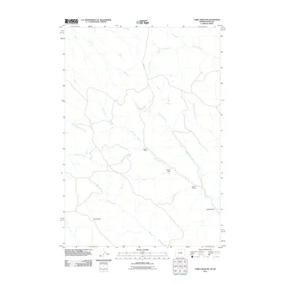
2011 Map of Cabin Creek NW
USGS Topo · Published 2011About this map
Squaw Butte stands as a prominent landmark in this high-plains landscape where the borders of Wyoming and Montana meet. The drainage pattern is the dominant geographic feature, defined by the extensive network of Cabin Creek and North Cabin Creek. The nomenclature of the draws and prongs suggests the historic utility of the land, with names like Sawmill Draw and Schoolhouse Prong hinting at early resource extraction and the social fabric of rural ranching life.
Find a feature on this map
14 named features on this map. Tap any name to fly to it.
Don’t see what you’re looking for? This feature index may not catch every label — zoom into the map to look around manually.
Map Details
Editions of this 2011 Cabin Creek NW Map
This is the sole edition of this map. No revisions or reprints were ever made.
Other maps of this area

1954 · Hardin
USGS Topo · 1:250,000

1955 · Sheridan
USGS Topo · 1:250,000

1957 · Hardin
USGS Topo · 1:250,000

1958 · Hardin
USGS Topo · 1:250,000

1958 · Sheridan
USGS Topo · 1:250,000

1962 · Sheridan
USGS Topo · 1:250,000

1971 · Cabin Creek NW
USGS Topo · 1:24,000

1971 · Cabin Creek SE
USGS Topo · 1:24,000
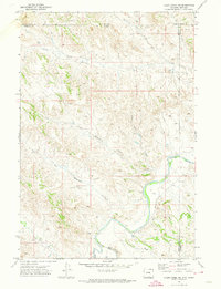
1971 · Cabin Creek NE
USGS Topo · 1:24,000

1971 · Gardner Gulch
USGS Topo · 1:24,000