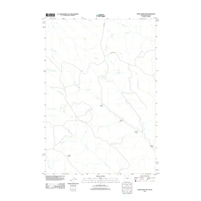
2012 Map of Cabin Creek NW
USGS Topo · Published 2012About this map
Squaw Butte dominates the southern landscape of this Sheridan County terrain, anchoring a network of drainage systems that define the area's geography. The map reveals a complex hydrography where Schoolhouse Prong and Seventysix Cr converge with Cabin Cr, illustrating the vital water resources necessary for life in this high-plains environment. The network of canyons and depressions, including Green Draw, Tanney Draw, and Sawmill Draw, suggests a history of localized land use, likely tied to seasonal livestock movement or early homesteading activities near the Montana-Wyoming border.
Find a feature on this map
18 named features on this map. Tap any name to fly to it.
Don’t see what you’re looking for? This feature index may not catch every label — zoom into the map to look around manually.
Map Details
Editions of this 2012 Cabin Creek NW Map
This is the sole edition of this map. No revisions or reprints were ever made.
Other maps of this area

1954 · Hardin
USGS Topo · 1:250,000

1955 · Sheridan
USGS Topo · 1:250,000

1957 · Hardin
USGS Topo · 1:250,000

1958 · Hardin
USGS Topo · 1:250,000

1958 · Sheridan
USGS Topo · 1:250,000

1962 · Sheridan
USGS Topo · 1:250,000

1971 · Cabin Creek NW
USGS Topo · 1:24,000

1971 · Cabin Creek SE
USGS Topo · 1:24,000
1971 · Cabin Creek NE
USGS Topo · 1:24,000

1971 · Gardner Gulch
USGS Topo · 1:24,000