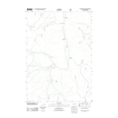
2011 Map of Caboose Canyon
USGS Topo · Published 2011About this map
Big Sheep Creek carves a central path through this section of Beaverhead County, Montana, providing a focal point for a landscape defined by dramatic drainages like Caboose Canyon, Patterson Canyon, and Pileup Canyon. The map records an environment where livestock ranching and mining have long shaped local geography, evidenced by the centrally located Peterson Ranch and specialized features such as Shearing Pen Gulch. High-elevation water sources, including Wood Spring, Caboose Spring, and Williamson Spring, are vital landmarks in this arid terrain.
Find a feature on this map
28 named features on this map. Tap any name to fly to it.
Don’t see what you’re looking for? This feature index may not catch every label — zoom into the map to look around manually.
Map Details
Editions of this 2011 Caboose Canyon Map
This is the sole edition of this map. No revisions or reprints were ever made.
Other maps of this area

1955 · Dubois
USGS Topo · 1:250,000

1957 · Scott Peak
USGS Topo · 1:62,500

1957 · Edie Ranch
USGS Topo · 1:62,500

1958 · Dubois
USGS Topo · 1:250,000

1965 · Caboose Canyon
USGS Topo · 1:24,000

1965 · Gallagher Gulch
USGS Topo · 1:24,000

1965 · Graphite Mountain
USGS Topo · 1:24,000

1965 · Dixon Mountain
USGS Topo · 1:24,000

1965 · Dell
USGS Topo · 1:24,000

1965 · Island Butte
USGS Topo · 1:24,000