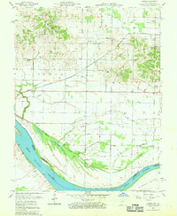
1957 Map of Caborn
USGS Topo · Published 1959About this map
Ohio River bottomlands define this portion of Posey County during the late 1950s, where the river bend creates a complex network of wetlands and drainage systems. The landscape is heavily marked by engineered water management, including the Dixon and Schieber Ditch and Blue Pond Ditch, which redirect water through the low-lying Cypress Slough. These features illustrate the transformation of the river valley for agricultural use, even as the Louisville and Nashville railroad provides a steady industrial pulse through the small settlements of Bufkin and Caborn. Local life centers around a traditional rural infrastructure of country schools and churches, such as Thompson Sch and St Johns Ch. The presence of the Radar Tower near Stucky Sch adds a Cold War era technical signature to an otherwise classic Midwestern agrarian and riverine environment.
Find a feature on this map
35 named features on this map. Tap any name to fly to it.
Don’t see what you’re looking for? This feature index may not catch every label — zoom into the map to look around manually.
Map Details
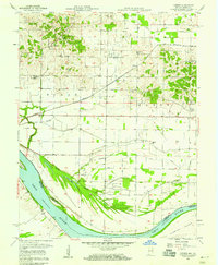
Editions of this 1957 Caborn Map
2 editions found
Other maps of this area

1901 · Haubstadt
USGS Topo · 1:62,500

1903 · Haubstadt
USGS Topo · 1:62,500

1903 · New Harmony
USGS Topo · 1:62,500

1903 · Patoka
USGS Topo · 1:125,000

1914 · Henderson
USGS Topo · 1:48,000

1916 · Henderson
USGS Topo · 1:62,500

1917 · Uniontown
USGS Topo · 1:62,500

1938 · New Harmony
USGS Topo · 1:62,500
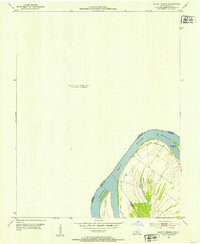
1952 · Mount Vernon
USGS Topo · 1:24,000
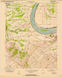
1952 · Wilson
USGS Topo · 1:24,000