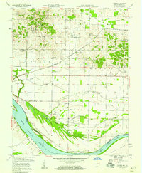
1957 Map of Caborn
USGS Topo · Published 1969About this map
The Ohio River flows along the southern edge of this landscape, defining the state boundary between Indiana and Kentucky. The floodplains are crisscrossed by a complex network of drainage infrastructure, including Dixon Ditch, Schieber Ditch, and Blue Pond Ditch, which manage the low-lying areas near Cypress Slough and Goose Pond Slough. These systems reflect the mid-century agricultural engineering required to maintain the fertile bottoms. Further inland, the terrain rises toward small rural hubs like Caborn and Bufkin, where the Louisville and Nashville railroad cuts across the countryside. For those researching local heritage, the map is a dense record of community anchors, from Thompson Sch and Stucky Sch to several generational burial grounds such as Hartman Cem and the St Johns Cem.
Find a feature on this map
34 named features on this map. Tap any name to fly to it.
Don’t see what you’re looking for? This feature index may not catch every label — zoom into the map to look around manually.
Map Details
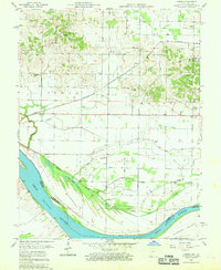
Editions of this 1957 Caborn Map
2 editions found
Other maps of this area

1901 · Haubstadt
USGS Topo · 1:62,500

1903 · Haubstadt
USGS Topo · 1:62,500

1903 · New Harmony
USGS Topo · 1:62,500

1903 · Patoka
USGS Topo · 1:125,000

1914 · Henderson
USGS Topo · 1:48,000

1916 · Henderson
USGS Topo · 1:62,500

1917 · Uniontown
USGS Topo · 1:62,500

1938 · New Harmony
USGS Topo · 1:62,500
1952 · Mount Vernon
USGS Topo · 1:24,000
1952 · Wilson
USGS Topo · 1:24,000