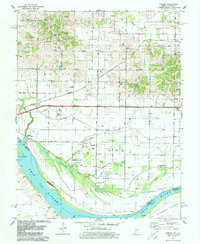
1978 Map of Caborn
USGS Topo · Published 1979About this map
Ohio River bottomlands dominate the southern half of this landscape, where the state boundary between Indiana and Kentucky winds through Cypress Slough and past Diamond Island. The topography reflects a transition from the river's floodplain, marked by drainage projects like Dixon Ditch and Blue Pond Ditch, to the uplands of Black and Marrs townships. A dense network of Oil Wells is scattered across the northern sections, particularly around Bufkin and the rail-oriented hamlet of Caborn.
Find a feature on this map
33 named features on this map. Tap any name to fly to it.
Don’t see what you’re looking for? This feature index may not catch every label — zoom into the map to look around manually.
Map Details
Editions of this 1978 Caborn Map
2 editions found
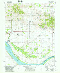
Other maps of this area

1901 · Haubstadt
USGS Topo · 1:62,500

1903 · Haubstadt
USGS Topo · 1:62,500

1903 · New Harmony
USGS Topo · 1:62,500

1903 · Patoka
USGS Topo · 1:125,000

1914 · Henderson
USGS Topo · 1:48,000

1916 · Henderson
USGS Topo · 1:62,500

1917 · Uniontown
USGS Topo · 1:62,500

1938 · New Harmony
USGS Topo · 1:62,500
1952 · Mount Vernon
USGS Topo · 1:24,000
1952 · Wilson
USGS Topo · 1:24,000