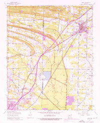
1954 Map of Cabot
USGS Topo · Published 1976About this map
Little Rock Air Force Base dominates the southwestern quadrant of this landscape, its expansive runways and military infrastructure set against the agricultural and woodland patterns of the Pulaski and Lonoke county line. The Missouri Pacific railroad serves as a central artery, anchoring the growth of Cabot in the northeast and Jacksonville in the south. The terrain is defined by two prominent rises, Backbone Ridge and Bayou Meto Ridge, which channel water toward Bayou Meto and Two Prairie Bayou. Rural life is evident in the cluster of community landmarks such as Ebenezer Church, Concord Cemetery, and the Midway School. Historical details such as Quapaw Mineral Springs and the small settlement of Toneyville provide specific points of interest for those tracing the development of central Arkansas during this post-war era.
Find a feature on this map
40 named features on this map. Tap any name to fly to it.
Don’t see what you’re looking for? This feature index may not catch every label — zoom into the map to look around manually.
Map Details
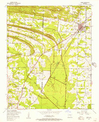
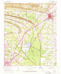
Editions of this 1954 Cabot Map
3 editions found
Other maps of this area

1891 · Little Rock
USGS Topo · 1:125,000

1893 · Little Rock
USGS Topo · 1:125,000

1935 · Mc Almont
USGS Topo · 1:24,000

1940 · Lonoke
USGS Topo · 1:62,500

1941 · Olmstead
USGS Topo · 1:31,680

1941 · Cabot
USGS Topo · 1:31,680

1943 · Jacksonville
USGS Topo · 1:31,680

1948 · Helena
USGS Topo · 1:250,000

1949 · Lonoke
USGS Topo · 1:62,500

1950 · Helena
USGS Topo · 1:250,000