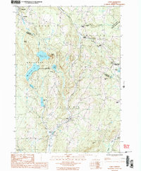
1986 Map of Cabot
USGS Topo · Published 1987About this map
Cabot and its surrounding villages sit at the headwaters of the Winooski River during the early 1980s, a period when the agricultural and dairy character of central Vermont remained deeply etched in the landscape. The map reveals a network of tight-knit hamlets including Lower Cabot, East Cabot, and South Walden, often situated at key crossroads or along watercourses like Mollys Brook.
Find a feature on this map
38 named features on this map. Tap any name to fly to it.
Don’t see what you’re looking for? This feature index may not catch every label — zoom into the map to look around manually.
Map Details
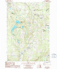
Editions of this 1986 Cabot Map
2 editions found
Other maps of this area

1928 · Hardwick
USGS Topo · 1:62,500

1934 · Hardwick
USGS Topo · 1:48,000

1935 · Lyndonville
USGS Topo · 1:48,000

1938 · Hardwick
USGS Topo · 1:62,500

1938 · St. Johnsbury
USGS Topo · 1:48,000

1939 · Lyndonville
USGS Topo · 1:62,500

1939 · Plainfield
USGS Topo · 1:48,000

1940 · Plainfield
USGS Topo · 1:62,500

1943 · Plainfield
USGS Topo · 1:62,500

1943 · St. Johnsbury
USGS Topo · 1:62,500