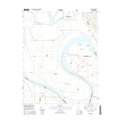
2015 Map of Cache
USGS Topo · Published 2015About this map
The Mississippi River carves a complex course through this border region, creating a landscape defined by dramatic bends and river-formed islands. Notable landforms like Dogtooth Bend and Thompson Towhead reflect the river's historical shifts, while Bumgard Island and Buffalo Island sit within the shifting channels. This low-lying alluvial plain is dotted with small rural settlements such as Miller City, Roth, and Willard, many connected by local routes like Promised Land Rd.
Find a feature on this map
48 named features on this map. Tap any name to fly to it.
Don’t see what you’re looking for? This feature index may not catch every label — zoom into the map to look around manually.
Map Details
Editions of this 2015 Cache Map
This is the sole edition of this map. No revisions or reprints were ever made.
Other maps of this area

1931 · Cairo
USGS Topo · 1:62,500

1933 · Cairo
USGS Topo · 1:62,500

1934 · Thebes
USGS Topo · 1:62,500

1939 · Wickliffe
USGS Topo · 1:62,500

1939 · Charleston
USGS Topo · 1:62,500

1939 · Cairo
USGS Topo · 1:62,500

1939 · Thebes
USGS Topo · 1:62,500

1949 · Paducah
USGS Topo · 1:250,000

1950 · Paducah
USGS Topo · 1:250,000

1952 · Wickliffe
USGS Topo · 1:62,500