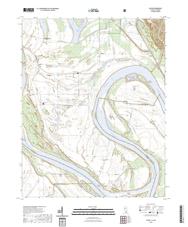
2024 Map of Cache
USGS Topo · Published 2024About this map
Dogtooth Bend defines this portion of the Mississippi River where the border between Illinois and Missouri follows the shifting main channel. The landscape is a complex network of chutes and backwaters, including Newcums Chute and Lake Milligan, which isolate large landmasses such as Thompson Towhead and Missouri Sister Island. These river dynamics historically shaped local settlement patterns, leaving behind clusters of small communities like Miller City, Willard, and Cache.
Find a feature on this map
57 named features on this map. Tap any name to fly to it.
Don’t see what you’re looking for? This feature index may not catch every label — zoom into the map to look around manually.
Map Details
Editions of this 2024 Cache Map
This is the sole edition of this map. No revisions or reprints were ever made.
Other maps of this area

1931 · Cairo
USGS Topo · 1:62,500

1933 · Cairo
USGS Topo · 1:62,500

1934 · Thebes
USGS Topo · 1:62,500

1939 · Wickliffe
USGS Topo · 1:62,500

1939 · Charleston
USGS Topo · 1:62,500

1939 · Cairo
USGS Topo · 1:62,500

1939 · Thebes
USGS Topo · 1:62,500

1949 · Paducah
USGS Topo · 1:250,000

1950 · Paducah
USGS Topo · 1:250,000

1952 · Wickliffe
USGS Topo · 1:62,500