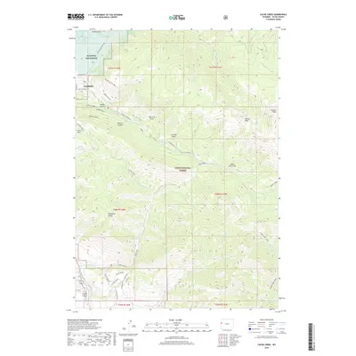
2018 Map of Cache Creek
USGS Topo · Published 2018About this map
Jackson sits at the western edge of this topographic study, where the developed streets of the town give way to the protected expanses of the National Elk Refuge and the Teton National Forest. The landscape is defined by its dramatic elevation changes, moving from the flat valley floor near Millers Butte up into the high country of the Gros Ventre Range. A complex network of recreation and access paths, including the Crystal Butte Trail, Ferrins Trail, and Putt - Putt Trail, spiderwebs through the canyons and draws southeast of town.
Find a feature on this map
55 named features on this map. Tap any name to fly to it.
Don’t see what you’re looking for? This feature index may not catch every label — zoom into the map to look around manually.
Map Details
Editions of this 2018 Cache Creek Map
This is the sole edition of this map. No revisions or reprints were ever made.
Other maps of this area

1899 · Grand Teton
USGS Topo · 1:125,000

1901 · Grand Teton
USGS Topo · 1:125,000

1931 · Jackson
USGS Topo · 1:125,000

1935 · Jackson
USGS Topo · 1:125,000

1955 · Driggs
USGS Topo · 1:250,000

1958 · Driggs
USGS Topo · 1:250,000

1962 · Driggs
USGS Topo · 1:250,000

1963 · Munger Mountain
USGS Topo · 1:24,000

1963 · Jackson
USGS Topo · 1:24,000

1965 · Camp Davis
USGS Topo · 1:24,000