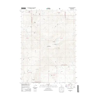
2013 Map of Cache Peak
USGS Topo · Published 2013About this map
Cache Peak and Mt Independence dominate this portion of the Albion Mountains, where the high-altitude terrain is defined by glacial cirques and dramatic granite outcrops. The area serves as a significant hydrological hub, with numerous drainages like Cassia Cr and Almo Cr flowing from the central heights. Notable water features include the Independence Lakes and several named springs such as Salt Lick Spring and Bull Spring, which supported early regional ranching interests.
Find a feature on this map
89 named features on this map. Tap any name to fly to it.
Don’t see what you’re looking for? This feature index may not catch every label — zoom into the map to look around manually.
Map Details
Editions of this 2013 Cache Peak Map
This is the sole edition of this map. No revisions or reprints were ever made.
Other maps of this area

1954 · Pocatello
USGS Topo · 1:250,000

1958 · Pocatello
USGS Topo · 1:250,000

1968 · Almo
USGS Topo · 1:24,000

1968 · Cache Peak
USGS Topo · 1:24,000

1968 · Basin
USGS Topo · 1:24,000

1968 · Jim Sage Canyon
USGS Topo · 1:24,000

1968 · Marion SE
USGS Topo · 1:24,000

1968 · Elba
USGS Topo · 1:24,000

1968 · Mount Harrison
USGS Topo · 1:24,000

1968 · Lyman Pass
USGS Topo · 1:24,000