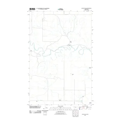
2011 Map of Cactus Flat
USGS Topo · Published 2011About this map
The Marias River carves a winding course through this northern Montana landscape, anchoring a region of wide basins and named drainages. Local ranching history is etched across the terrain, with several established family operations including the Stanford Russell Ranch, Nelson Ranch, and Seifert Ranch positioned near the water and valley floor. These holdings sit alongside geographic landmarks like Willow Rounds and the broad Bullhead Valley, reflecting the enduring agricultural patterns of Pondera County.
Find a feature on this map
17 named features on this map. Tap any name to fly to it.
Don’t see what you’re looking for? This feature index may not catch every label — zoom into the map to look around manually.
Map Details
Editions of this 2011 Cactus Flat Map
This is the sole edition of this map. No revisions or reprints were ever made.
Other maps of this area

1909 · Cut Bank
USGS Topo · 1:125,000

1912 · Cut Bank
USGS Topo · 1:125,000

1920 · Dupuyer
USGS Topo · 1:125,000

1920 · Conrad
USGS Topo · 1:125,000

1934 · Valier
USGS Topo · 1:62,500

1937 · Valier
USGS Topo · 1:62,500

1943 · Shelby
USGS Topo · 1:62,500

1954 · Shelby
USGS Topo · 1:250,000

1958 · Shelby
USGS Topo · 1:250,000

1960 · Cut Bank
USGS Topo · 1:250,000