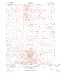
1952 Map of Cactus Peak
USGS Topo · Published 1983About this map
Monitor Peak and the Monitor Hills dominate the northern landscape of this Nevada survey, looking out over the wide expanse of Ralston Valley. The terrain transitions into military utility toward the south, as much of the area falls within the Nellis Air Force Range. This 1952 documentation reflects a period when the desert landscape was being repurposed for mid-century defense operations, evidenced by the numerous Target markers and Target Areas scattered across Cactus Flat.
Find a feature on this map
15 named features on this map. Tap any name to fly to it.
Don’t see what you’re looking for? This feature index may not catch every label — zoom into the map to look around manually.
Map Details
Editions of this 1952 Cactus Peak Map
3 editions found

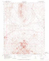
Other maps of this area

1907 · Tonopah
USGS Topo · 1:250,000

1908 · Kawich
USGS Topo · 1:250,000

1908 · Lida
USGS Topo · 1:250,000

1908 · Tonopah
USGS Topo · 1:250,000

1913 · Lida
USGS Topo · 1:250,000

1942 · Cactus Range
USGS Topo · 1:125,000

1945 · Goldfield
USGS Topo · 1:125,000

1952 · Stinking Spring
USGS Topo · 1:62,500

1952 · Mellan
USGS Topo · 1:62,500

1952 · Cactus Spring
USGS Topo · 1:62,500