
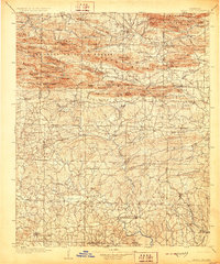
1906 Map of Caddo Gap
USGS Topo · Published 1906About this map
The Caddo Mountains and Crystal Mountains dominate this early 20th-century landscape, carving a complex network of ridges and water gaps across west-central Arkansas. The map records the region during a period of transition, where small mountain settlements like Slatington and Fancy Hill served localized mining or timber interests. The namesake Caddo Gap provides a natural passage for the Caddo River, a critical corridor for early transportation and trade.
Find a feature on this map
118 named features on this map. Tap any name to fly to it.
Don’t see what you’re looking for? This feature index may not catch every label — zoom into the map to look around manually.
Map Details
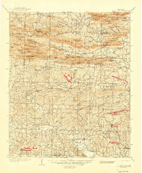
Editions of this 1906 Caddo Gap Map
3 editions found
Other maps of this area

1890 · Mount Ida
USGS Topo · 1:125,000

1890 · Poteau Mountain
USGS Topo · 1:125,000

1890 · Hot Springs
USGS Topo · 1:125,000

1894 · Hot Springs
USGS Topo · 1:125,000

1899 · Poteau Mountain
USGS Topo · 1:125,000

1901 · Gurdon
USGS Topo · 1:125,000

1913 · De Queen
USGS Topo · 1:125,000

1936 · Athens
USGS Topo · 1:48,000

1936 · Glenwood
USGS Topo · 1:48,000

1942 · Glenwood
USGS Topo · 1:62,500