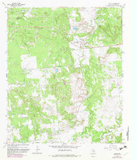
1967 Map of Caddo
USGS Topo · Published 1982About this map
The settlement of Caddo serves as a central hub in this Stephens County landscape, which is defined by an active Oil Field and an extensive network of petroleum infrastructure. Numerous Oil Wells and a Pipeline cross the terrain, illustrating the region's industrial focus during the mid-to-late 20th century. To the south, the community of Frankell sits near an Old Railroad Grade, a reminder of the earlier transportation networks that once served the local economy.
Find a feature on this map
26 named features on this map. Tap any name to fly to it.
Don’t see what you’re looking for? This feature index may not catch every label — zoom into the map to look around manually.
Map Details
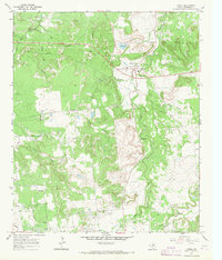
Editions of this 1967 Caddo Map
2 editions found
Other maps of this area

1890 · Breckenridge
USGS Topo · 1:125,000

1924 · Breckenridge 1-d
USGS Topo · 1:48,000

1931 · Ivan
USGS Topo · 1:62,500

1954 · Abilene
USGS Topo · 1:250,000

1958 · Abilene
USGS Topo · 1:250,000
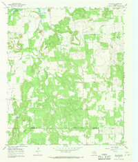
1967 · Wayland
USGS Topo · 1:24,000

1967 · Necessity
USGS Topo · 1:24,000
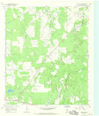
1967 · Grand Lake
USGS Topo · 1:24,000
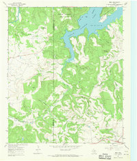
1967 · Brad
USGS Topo · 1:24,000
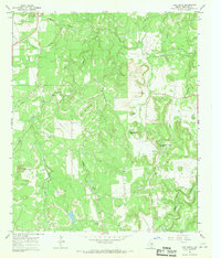
1967 · Ivan South
USGS Topo · 1:24,000