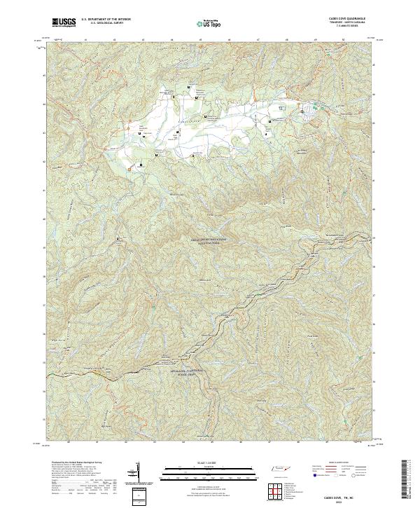
2022 Map of Cades Cove
USGS Topo · Published 2022About this map
The Cades Cove valley floor is densely populated with historic spiritual and family sites, including the Cades Cove Missionary Baptist Church Cem, Cades Cove Methodist Church Cem, and the Cades Cove Primitive Baptist Church Cem. These landmarks, along with family plots like the Boring Family Cem and Cable Cem, indicate the deep roots of the local community before the establishment of the Great Smoky Mountains National Park.
Find a feature on this map
207 named features on this map. Tap any name to fly to it.
Don’t see what you’re looking for? This feature index may not catch every label — zoom into the map to look around manually.
Map Details
Editions of this 2022 Cades Cove Map
This is the sole edition of this map. No revisions or reprints were ever made.
Other maps of this area

1886 · Knoxville
USGS Topo · 1:125,000

1892 · Knoxville
USGS Topo · 1:125,000

1894 · Knoxville
USGS Topo · 1:125,000

1895 · Knoxville
USGS Topo · 1:125,000

1901 · Knoxville
USGS Topo · 1:125,000

1933 · Bushnell
USGS Topo · 1:62,500

1935 · Fontana
USGS Topo · 1:24,000

1935 · Calderwood
USGS Topo · 1:24,000
1935 · Tapoco
USGS Topo · 1:24,000
1935 · Blockhouse
USGS Topo · 1:24,000