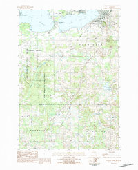
1983 Map of Cadillac South
USGS Topo · Published 1984About this map
The south side of Cadillac and the recreational expanse of Lake Mitchell anchor this early 1980s survey of Wexford and Osceola counties. The map captures the city's southern expansion into Cherry Grove and Clam Lake townships, where civic landmarks like Mercy Hosp and Franklin Sch sit near the shore of Lake Cadillac. The northern reach of the Northern railroad line is visible, tracing a path through the landscape toward the heart of the city.
Find a feature on this map
41 named features on this map. Tap any name to fly to it.
Don’t see what you’re looking for? This feature index may not catch every label — zoom into the map to look around manually.
Map Details
Editions of this 1983 Cadillac South Map
This is the sole edition of this map. No revisions or reprints were ever made.
Other maps of this area

1933 · Luther SE
USGS Topo · 1:31,680

1954 · Traverse City
USGS Topo · 1:250,000

1956 · Mesick
USGS Topo · 1:62,500

1956 · Cadillac North
USGS Topo · 1:62,500

1957 · Cadillac South
USGS Topo · 1:62,500

1957 · Luther
USGS Topo · 1:62,500

1958 · Traverse City
USGS Topo · 1:250,000
1983 · Dighton
USGS Topo · 1:25,000

1983 · Cadillac
USGS Topo · 1:100,000
1983 · Le Roy
USGS Topo · 1:25,000