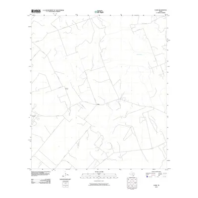
2010 Map of Cadiz
USGS Topo · Published 2010About this map
Cadiz serves as the central hub of this Bee County landscape, where the intersection of FM 799 and various county roads marks a pocket of rural Texas settlement. The terrain is defined by the drainage patterns of Poesta Creek, La Para Creek, and Aransas Creek, which carve through the ranching and energy-producing lands of the South Texas Plains. The presence of the Karon South Oil Field indicates the region's long-standing connection to the petroleum industry, while the Lebanon Cemetery provides a tangible link for those researching local family history and early community roots. This 2010 survey reflects a period of established rural infrastructure, showing a network of numbered county roads such as Co RD 109 and Co RD 324 that connect the isolated homesteads and grazing lands typical of this part of Texas.
Find a feature on this map
29 named features on this map. Tap any name to fly to it.
Don’t see what you’re looking for? This feature index may not catch every label — zoom into the map to look around manually.
Map Details
Editions of this 2010 Cadiz Map
This is the sole edition of this map. No revisions or reprints were ever made.
Other maps of this area

1920 · Mikeska
USGS Topo · 1:125,000

1925 · Oakville No. 4
USGS Topo · 1:48,000

1927 · Oakville
USGS Topo · 1:62,500

1936 · Pettus
USGS Topo · 1:62,500

1953 · Crystal City
USGS Topo · 1:250,000

1953 · Beeville
USGS Topo · 1:250,000

1954 · Fleming
USGS Topo · 1:62,500

1955 · Crystal City
USGS Topo · 1:250,000

1956 · Suniland
USGS Topo · 1:62,500

1956 · Beeville
USGS Topo · 1:250,000