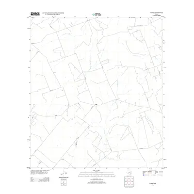
2013 Map of Cadiz
USGS Topo · Published 2013About this map
Cadiz serves as the central point of this South Texas landscape, where the intersection of county roads and farm-to-market routes defines the rural community. The settlement is anchored by the Lebanon Cem to the northwest, a key site for local genealogical research. The terrain is shaped by the winding courses of Poesta Cr, La Para Cr, and Aransas Cr, which drain the brush country typical of Bee County. To the west, the Karon South Oil Field indicates the region's long-standing connection to petroleum extraction. This 2013 survey shows a persistent ranching and energy-driven layout, with a dense network of numbered county roads such as La Para Rd and Maples Rd providing access to private holdings and agricultural tracts.
Find a feature on this map
29 named features on this map. Tap any name to fly to it.
Don’t see what you’re looking for? This feature index may not catch every label — zoom into the map to look around manually.
Map Details
Editions of this 2013 Cadiz Map
This is the sole edition of this map. No revisions or reprints were ever made.
Other maps of this area

1920 · Mikeska
USGS Topo · 1:125,000

1925 · Oakville No. 4
USGS Topo · 1:48,000

1927 · Oakville
USGS Topo · 1:62,500

1936 · Pettus
USGS Topo · 1:62,500

1953 · Crystal City
USGS Topo · 1:250,000

1953 · Beeville
USGS Topo · 1:250,000

1954 · Fleming
USGS Topo · 1:62,500

1955 · Crystal City
USGS Topo · 1:250,000

1956 · Suniland
USGS Topo · 1:62,500

1956 · Beeville
USGS Topo · 1:250,000