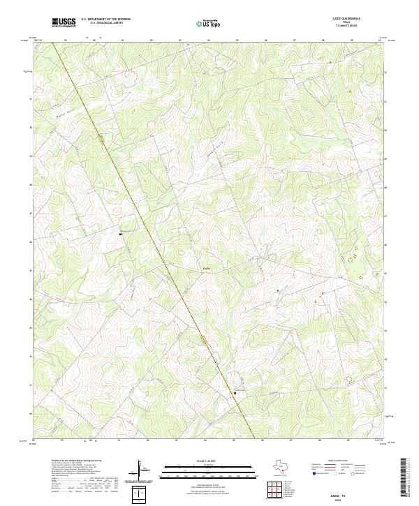
2022 Map of Cadiz
USGS Topo · Published 2022About this map
Cadiz serves as the central hub of this South Texas landscape, situated at the intersection of FM 799 and several local county roads. The terrain is defined by a dendritic drainage system where Waller Gully and Gamble Gully feed into larger watercourses like Poesta Cr and La Para Cr. These seasonal streams dictate the positioning of historical sites and ranch boundaries across the Bee County line. The map reveals a distinct pattern of rural settlement, with the Bee Co Live Oak Co boundary cutting diagonally across the northwestern corner. Family and community heritage is anchored by the presence of the Lebanon Cem to the northwest of the main settlement and La Para Cem located along La Para Rd to the southeast. The extensive network of numbered county roads, such as Co RD 341 and Co RD 329, provides a clear view of how land was partitioned and accessed in the early twenty-first century.
Find a feature on this map
36 named features on this map. Tap any name to fly to it.
Don’t see what you’re looking for? This feature index may not catch every label — zoom into the map to look around manually.
Map Details
Editions of this 2022 Cadiz Map
This is the sole edition of this map. No revisions or reprints were ever made.
Other maps of this area

1920 · Mikeska
USGS Topo · 1:125,000

1925 · Oakville No. 4
USGS Topo · 1:48,000

1927 · Oakville
USGS Topo · 1:62,500

1936 · Pettus
USGS Topo · 1:62,500

1953 · Crystal City
USGS Topo · 1:250,000

1953 · Beeville
USGS Topo · 1:250,000

1954 · Fleming
USGS Topo · 1:62,500

1955 · Crystal City
USGS Topo · 1:250,000

1956 · Suniland
USGS Topo · 1:62,500

1956 · Beeville
USGS Topo · 1:250,000