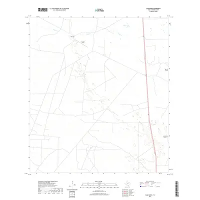
2019 Map of Cage Ranch
USGS Topo · Published 2019About this map
Cage Ranch anchors this landscape in Brooks County, where the topography is defined by the ephemeral drainage of Calosa Cr and the waters of Cayetano Lake. This South Texas environment is organized into large-scale grazing divisions such as Barroso Pasture and Los Muertos Pasture, reflecting the region's enduring ranching economy. The proximity of the Cage Ranch Airport to the primary ranch buildings highlights the vast distances inherent to this territory, where air travel supports the operations of remote holdings. Running through the eastern edge of the map, Route 281 provides the singular modern artery connecting these isolated pastures and landmarks to the broader regional network. The network of local ranch roads and cattle-handling boundaries visible here illustrates the specialized infrastructure required to manage livestock across this arid terrain.
Find a feature on this map
7 named features on this map. Tap any name to fly to it.
Don’t see what you’re looking for? This feature index may not catch every label — zoom into the map to look around manually.
Map Details
Editions of this 2019 Cage Ranch Map
This is the sole edition of this map. No revisions or reprints were ever made.
Other maps of this area

1921 · Falfurrias
USGS Topo · 1:125,000

1939 · Encantada
USGS Topo · 1:62,500

1949 · Mc Allen
USGS Topo · 1:250,000

1954 · McAllen
USGS Topo · 1:250,000

1956 · Laredo
USGS Topo · 1:250,000

1957 · Mc Allen
USGS Topo · 1:250,000

1962 · McAllen
USGS Topo · 1:250,000

1963 · Flowella
USGS Topo · 1:24,000

1963 · Falfurrias SE
USGS Topo · 1:24,000

1963 · Cage Ranch
USGS Topo · 1:24,000