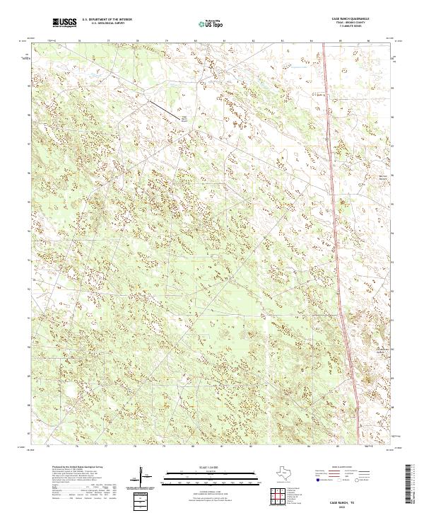
2022 Map of Cage Ranch
USGS Topo · Published 2022About this map
The Cage Ranch Airport serves as a central landmark in this portion of South Texas, where the landscape is defined by vast grazing lands and seasonal watercourses. This territory in Brooks County is partitioned into significant grazing areas, including the Barroso Pasture to the east and the Los Muertos Pasture to the south. These named pastures and the presence of the Cage Ranch Airport underscore the region's historical and ongoing reliance on ranching and aviation to navigate and manage the remote brushlands.
Find a feature on this map
6 named features on this map. Tap any name to fly to it.
Don’t see what you’re looking for? This feature index may not catch every label — zoom into the map to look around manually.
Map Details
Editions of this 2022 Cage Ranch Map
This is the sole edition of this map. No revisions or reprints were ever made.
Other maps of this area

1921 · Falfurrias
USGS Topo · 1:125,000

1939 · Encantada
USGS Topo · 1:62,500

1949 · Mc Allen
USGS Topo · 1:250,000

1954 · McAllen
USGS Topo · 1:250,000

1956 · Laredo
USGS Topo · 1:250,000

1957 · Mc Allen
USGS Topo · 1:250,000

1962 · McAllen
USGS Topo · 1:250,000

1963 · Flowella
USGS Topo · 1:24,000

1963 · Falfurrias SE
USGS Topo · 1:24,000

1963 · Cage Ranch
USGS Topo · 1:24,000