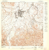
1947 Map of Caguas NE
USGS Topo · Published 1947About this map
Caguas serves as the urban anchor of this 1940s topography, situated at the confluence of the Río Caguitas and Río Turabo. The grid system of the city center contrasts with the winding river valleys and the industrial presence of Central Santa Juana and Central Defensa, which speak to the region's agricultural processing history during this era.
Find a feature on this map
17 named features on this map. Tap any name to fly to it.
Don’t see what you’re looking for? This feature index may not catch every label — zoom into the map to look around manually.
Map Details
Editions of this 1947 Caguas NE Map
This is the sole edition of this map. No revisions or reprints were ever made.
Other maps of this area

1946 · Aguas Buenas
USGS Topo · 1:30,000

1946 · Gurabo
USGS Topo · 1:30,000

1946 · Juncos
USGS Topo · 1:30,000

1946 · Caguas
USGS Topo · 1:30,000
1947 · Caguas NO
USGS Topo · 1:10,000
1947 · Aguas Buenas SE
USGS Topo · 1:10,000
1947 · Gurabo SO
USGS Topo · 1:10,000
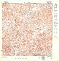
1947 · Juncos SO
USGS Topo · 1:10,000
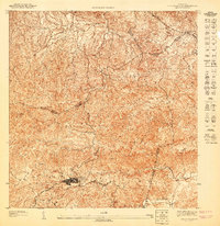
1947 · Aguas Buenas SO
USGS Topo · 1:10,000
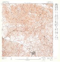
1947 · Juncos NO
USGS Topo · 1:10,000
Featured Places
- Caguas
- Sector Turabo Abajo, Caguas
- Sector Los Cubanos, Caguas
- Parque Mansiones de Navarro, Gurabo
- Sector Viaducto, Caguas