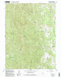
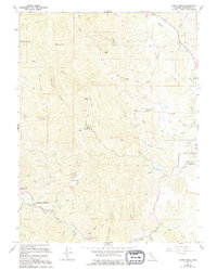
1967 Map of Cahto Peak
USGS Topo · Published 1994About this map
Cahto Peak and Black Oak Mtn dominate this Mendocino County landscape, where the headwaters of the South Fork Eel River and Middle Fork Eel River meet. The map reveals a complex network of ridgeline lookouts and communication hubs, including a lookout tower and radio facilities atop the major summits. In the eastern valley, the Laytonville Rancheria sits near the winding course of Tenmile Creek, while the small settlement of Branscomb and a Mobile Home Park anchor the southwestern corner along the river. This mid-century survey, updated in the late 1980s, highlights the isolation of timber and ranch lands through the numerous private access roads and rugged drainages like Misery Creek and Paralyze Creek. Public land use is represented by the Admiral Standley State Recreation Area, preserving a section of the timber-heavy terrain between the forks of the Eel.
Find a feature on this map
42 named features on this map. Tap any name to fly to it.
Don’t see what you’re looking for? This feature index may not catch every label — zoom into the map to look around manually.
Map Details
Editions of this 1967 Cahto Peak Map
5 editions found
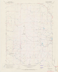
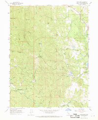
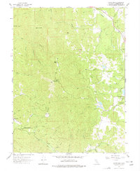
Other maps of this area

1920 · Cummings
USGS Topo · 1:62,500

1920 · Covelo
USGS Topo · 1:62,500

1921 · Branscomb
USGS Topo · 1:62,500

1951 · Branscomb
USGS Topo · 1:62,500

1951 · Laytonville
USGS Topo · 1:62,500

1952 · Spyrock
USGS Topo · 1:62,500

1952 · Leggett
USGS Topo · 1:62,500

1957 · Ukiah
USGS Topo · 1:250,000

1960 · Ukiah
USGS Topo · 1:250,000
1966 · Dutchmans Knoll
USGS Topo · 1:24,000