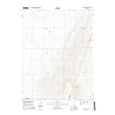
2015 Map of Cain Mountain
USGS Topo · Published 2015About this map
Jersey Valley and the high peaks of the Augusta Mountains define this Great Basin landscape on the borders of Churchill, Pershing, and Lander counties. The area is marked by a reliance on geothermal activity and scarce water sources, as evidenced by several named water features including Big Thermal Spring, Lower Ranch Hot Spring, and McCoy Springs. These water points were historically vital for the ranching operations suggested by the J S Ranch Spring.
Find a feature on this map
19 named features on this map. Tap any name to fly to it.
Don’t see what you’re looking for? This feature index may not catch every label — zoom into the map to look around manually.
Map Details
Editions of this 2015 Cain Mountain Map
This is the sole edition of this map. No revisions or reprints were ever made.
Other maps of this area

1932 · Sonoma Range
USGS Topo · 1:250,000

1939 · Sonoma Range
USGS Topo · 1:250,000

1955 · Millett
USGS Topo · 1:250,000

1955 · Winnemucca
USGS Topo · 1:250,000

1958 · Winnemucca
USGS Topo · 1:250,000

1959 · Millett
USGS Topo · 1:250,000

1961 · Cain Mountain
USGS Topo · 1:62,500

1961 · Mt. Moses
USGS Topo · 1:62,500

1962 · Winnemucca
USGS Topo · 1:250,000

1966 · Shoshone Meadows
USGS Topo · 1:62,500