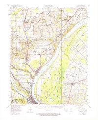
1953 Map of Cairo
USGS Topo · Published 1964About this map
Cairo sits at the dramatic confluence of the Ohio River and the Mississippi River, a landscape defined by water and heavy rail infrastructure in the mid-1950s. The map captures the industrial and transit heart of the region, where the Illinois Central, Gulf Mobile and Ohio, and St Louis Southwestern railroads converge. The presence of numerous levee systems and floodgates surrounding Mound City and Mounds illustrates the constant management of these massive river systems. Inland, the map reveals a high density of community landmarks including the National Cemetery and Cairo City Cemetery, alongside smaller settlements like Future City and Urbandale. The Kentucky side of the Ohio River is characterized by a dense network of sloughs and ponds, such as Axe Lake and Fish Lake, highlighting the delta-like environment of Ballard County before modern channelization altered these wetlands.
Find a feature on this map
119 named features on this map. Tap any name to fly to it.
Don’t see what you’re looking for? This feature index may not catch every label — zoom into the map to look around manually.
Map Details
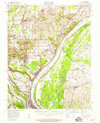
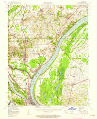
Editions of this 1953 Cairo Map
3 editions found
Other maps of this area

1918 · Vienna
USGS Topo · 1:62,500

1919 · Vienna
USGS Topo · 1:62,500

1920 · Jonesboro
USGS Topo · 1:62,500

1920 · Dongola
USGS Topo · 1:62,500

1923 · Dongola
USGS Topo · 1:62,500

1923 · Jonesboro
USGS Topo · 1:62,500

1928 · La Center
USGS Topo · 1:62,500

1931 · Cairo
USGS Topo · 1:62,500

1932 · La Center
USGS Topo · 1:62,500

1933 · Cairo
USGS Topo · 1:62,500