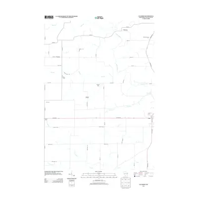
2013 Map of Calamine
USGS Topo · Published 2013About this map
Pecatonica River winding through the northern portion of the quadrangle anchors this rural Wisconsin landscape, which remains defined by a dense network of family-owned and industrial agricultural operations. The settlement of Calamine sits near the river's bend, while the small communities of Truman and Avon are located further west and south, respectively. The map reveals the intricate drainage system of Lafayette County, where numerous tributaries like Bonner Br, Vinegar Br, and Ames Br carve through the agricultural fields.
Find a feature on this map
45 named features on this map. Tap any name to fly to it.
Don’t see what you’re looking for? This feature index may not catch every label — zoom into the map to look around manually.
Map Details
Editions of this 2013 Calamine Map
This is the sole edition of this map. No revisions or reprints were ever made.
Other maps of this area

1902 · Mineral Point
USGS Topo · 1:125,000

1952 · Shullsburg
USGS Topo · 1:24,000

1952 · Calamine
USGS Topo · 1:24,000

1952 · Mineral Point
USGS Topo · 1:24,000

1952 · Belmont
USGS Topo · 1:24,000

1952 · New Diggings
USGS Topo · 1:24,000

1952 · Mifflin
USGS Topo · 1:24,000

1959 · Dubuque
USGS Topo · 1:250,000

1961 · Dubuque
USGS Topo · 1:250,000

1962 · Dubuque
USGS Topo · 1:250,000