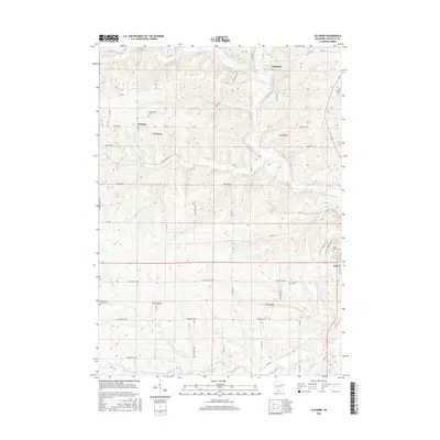
2016 Map of Calamine
USGS Topo · Published 2016About this map
The Pecatonica River winds through this Lafayette County landscape, where the small community of Calamine is situated near several converging watercourses. The map captures the rural character of southwestern Wisconsin, defined by agricultural lands and a network of county roads including Co Rd G and Co Rd D. For genealogists, the map provides precise locations for family burial grounds such as Kenneltown Cem, Pillings Cem, and the Saint Marys Catholic Cem near the southern boundary. Small settlements like Truman and Avon are connected by a grid of named local routes, such as Truman Rd and Tama Run Rd. The terrain is deeply dissected by numerous creeks, with the Ames Br and Vinegar Br feeding into the larger river system, illustrating the drainage patterns that have shaped the region's development.
Find a feature on this map
50 named features on this map. Tap any name to fly to it.
Don’t see what you’re looking for? This feature index may not catch every label — zoom into the map to look around manually.
Map Details
Editions of this 2016 Calamine Map
This is the sole edition of this map. No revisions or reprints were ever made.
Other maps of this area

1902 · Mineral Point
USGS Topo · 1:125,000

1952 · Shullsburg
USGS Topo · 1:24,000

1952 · Calamine
USGS Topo · 1:24,000

1952 · Mineral Point
USGS Topo · 1:24,000

1952 · Belmont
USGS Topo · 1:24,000

1952 · New Diggings
USGS Topo · 1:24,000

1952 · Mifflin
USGS Topo · 1:24,000

1959 · Dubuque
USGS Topo · 1:250,000

1961 · Dubuque
USGS Topo · 1:250,000

1962 · Dubuque
USGS Topo · 1:250,000