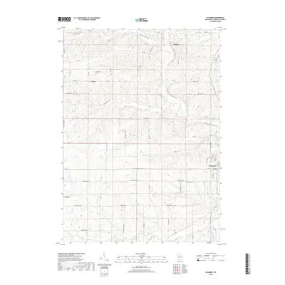
2018 Map of Calamine
USGS Topo · Published 2018About this map
The Pecatonica River winds through this Lafayette County landscape, serving as a geographic anchor for the rural settlements of Calamine and Darlington. The terrain is defined by a dense network of coulees and ridges, with watercourses like Bonner Br and Vinegar Br carving through the agricultural uplands. Transportation history is visible in the transformation of former rail corridors into the Pecatonica State Trail and Cheese Country Recreation Trail, which intersect near the northern reaches of the map.
Find a feature on this map
50 named features on this map. Tap any name to fly to it.
Don’t see what you’re looking for? This feature index may not catch every label — zoom into the map to look around manually.
Map Details
Editions of this 2018 Calamine Map
This is the sole edition of this map. No revisions or reprints were ever made.
Other maps of this area

1902 · Mineral Point
USGS Topo · 1:125,000

1952 · Shullsburg
USGS Topo · 1:24,000

1952 · Calamine
USGS Topo · 1:24,000

1952 · Mineral Point
USGS Topo · 1:24,000

1952 · Belmont
USGS Topo · 1:24,000

1952 · New Diggings
USGS Topo · 1:24,000

1952 · Mifflin
USGS Topo · 1:24,000

1959 · Dubuque
USGS Topo · 1:250,000

1961 · Dubuque
USGS Topo · 1:250,000

1962 · Dubuque
USGS Topo · 1:250,000